
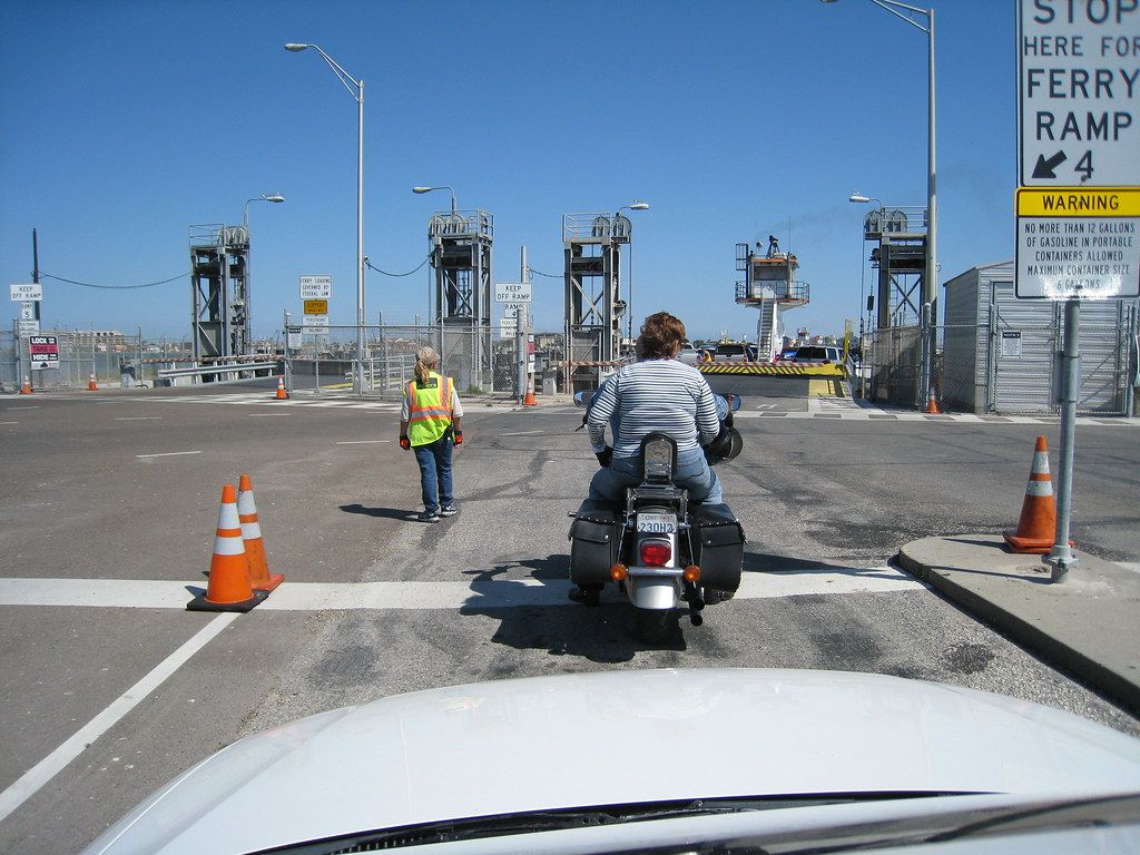
There is no train along this coast, and buses between the small towns are few. Almost everyone gets around by car, truck or motorhome, and the roads are part of the experience. They run low over the water on long causeways, cut through ranch land and marsh, and end at the edge of the Gulf, where a ferry carries you over the channel. The distances are not great, but the wind, the water and the ferry queue can all add time.
State Highway 35
State Highway 35 is the backbone of the Coastal Bend. It runs along the coast from the Houston area, through Port Lavaca and the small towns around the bays, and on through Rockport and Fulton to the edge of Corpus Christi. Between the towns, it is a fast, open road through ranch country and wetlands, with long views over the prairie and the occasional glimpse of the bays.
Through Rockport and Fulton, a business route of the highway follows the waterfront more closely, and a bypass carries through traffic around the edge. Further south, the highway heads for Aransas Pass, Gregory and Portland, where it meets US 181 and the bridge into Corpus Christi.
Keep to the speed limits, which drop sharply in the towns, and watch for wildlife at dawn and dusk. Deer, wild pigs and even the odd alligator cross the roads in the wetter areas.
The causeways
North of Rockport, Highway 35 crosses Copano Bay on a long causeway between Lamar and the small communities on the far shore. The modern bridge is high and wide, and beside it stand the remains of the old, lower causeway, now used as fishing piers. The story of Copano Bay and the old causeway covers the piers and the bay.
South of Rockport, the road from Aransas Pass to Harbor Island and the ferry runs on a long, low causeway across the flats. On calm days it is a lovely drive with water on both sides, and pelicans, herons and fishermen everywhere. In strong winds, spray can blow across the road, and in storms it can flood.
Further south still, the causeway over the Laguna Madre carries the road from Corpus Christi out to Padre Island and the national seashore, and the bridge over the ship channel in Corpus Christi links the city with North Beach and the road home.
Down the road · IslandsPort Aransas, across the channel on the free ferryThe Port Aransas ferry
The state runs a free car ferry across the channel between Harbor Island, at the end of the causeway from Aransas Pass, and the town of Port Aransas on Mustang Island. The crossing takes only a few minutes, and the boats run around the clock, with several in service at busy times. You drive on, stay with your car or stand at the rail, and drive off on the far side.
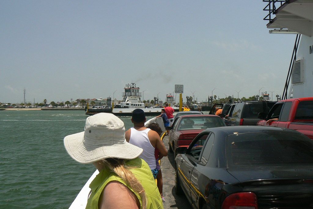
The ferry is one of the small pleasures of the coast. Dolphins often follow the boats or feed in the channel, and you get a close view of the ships, tugs and fishing boats passing through the pass. On summer weekends and holidays, though, the queue can stretch a long way back along the causeway, and waits of an hour or more are not unusual. Mornings and weekdays are usually quicker. Waits change with the season.
If the queue is too long, you can always go the long way round, through Corpus Christi and up Mustang Island from the south. Find out more about the town at the far end in the guide to Port Aransas.
Towing a trailer in the wind
The Coastal Bend is popular with people travelling with trailers and motorhomes, and the wind is the main thing to watch. Steady breezes off the Gulf are normal, and in spring the wind can blow hard for days. In winter, northers bring sudden strong gusts from the north. On the long causeways, there is nothing to break the wind, and a high-sided trailer can be pushed around.
Check the forecast before you set out, and on very windy days consider waiting. Slow down on causeways and bridges, keep both hands on the wheel and leave plenty of room around you. Make sure your hitch, sway control and tyres are in good order. On the ferry, follow the crew's directions for loading; larger rigs may have to wait for a particular boat or loading position.
Distances and driving times
Rockport is a good base for exploring the area, and most places on the Coastal Bend are within an easy drive. Corpus Christi is about 45 minutes to the south, and Port Aransas is about the same, depending on the ferry. Goliad is about an hour and a quarter inland, and Padre Island National Seashore about ninety minutes.
From further away, San Antonio is roughly three hours inland by road, Austin a little more, and Houston around three and a half to four hours up the coast. Times are longer on holiday weekends and in bad weather.
| From Rockport to | Rough driving time |
|---|---|
| Fulton | A few minutes |
| Corpus Christi | About 45 minutes |
| Port Aransas | About 45 minutes with the ferry |
| Goliad | About 75 minutes |
| San Antonio | About three hours |
Getting around without a car
Without a car, the Coastal Bend is harder work but not impossible. Corpus Christi has an airport and city buses, and taxis and ride-hailing services work in the city. In the smaller towns, cycling is a good option on calm days, and the waterfronts of Rockport, Fulton and Port Aransas are pleasant to walk. For anything further afield, though, you will need wheels of your own.
Picture credits: objectfox – Creative Commons BY 2.0; qnr – Creative Commons BY-SA 2.0.