
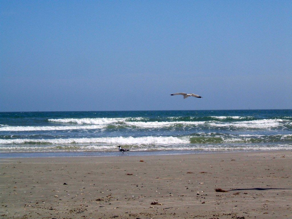
Port Aransas sits at the north end of Mustang Island, where the barrier island meets the deep channel that carries ships into Corpus Christi Bay. It is a fishing town that has grown into a beach town, with sandy streets, raised houses and a long Gulf beach on one side, and a busy harbour on the other. Getting there from Rockport means crossing the channel on a ferry, and that short trip sets the tone.
It is busier and louder than Rockport, especially in summer, but it is also the easiest place on the Coastal Bend to reach a true Gulf beach with breaking waves. A day here, out of season, can be one of the best on the coast.
The ferry across the channel
From Rockport, head south on Highway 35 to Aransas Pass, then east on Highway 361 across the causeway to Harbor Island and the ferry landing. The state-run ferries carry cars, trucks, cyclists and people on foot across the channel to Port Aransas. The crossing itself takes only a few minutes, and there has traditionally been no charge.
The ferries run around the clock, with more boats in service at busy times. Waits are the thing to plan for. On a quiet winter morning you may drive straight on; on a summer weekend or a holiday you may wait an hour or more.
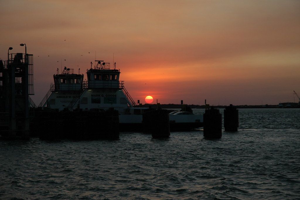
Larger vehicles, including trailers and motorhomes, can use the ferry, though length limits and lane rules apply. If you are towing, or simply prefer to avoid the line, the longer alternative is the drive through Corpus Christi and across the bridge onto the south end of Mustang Island. It takes more time on the road but avoids the wait entirely.
Watch the water on the crossing. Bottlenose dolphins often surface in the channel, sometimes very close to the ferry, and brown pelicans ride the wind alongside the boats.
The jetties and the channel
The jetties at Port Aransas are long walls of granite boulders that run out into the Gulf on either side of the channel. They keep the pass open for shipping, and they also make a popular fishing spot and a fine place to watch ships, dolphins and birds.
The south jetty, on the Port Aransas side, can be walked for some distance on a concrete path along the top. The rocks are slippery, waves break against them, and the channel runs fast. Wear shoes with grip, keep children close, and stay well back from the edge on windy days. Never swim near the jetties, where currents are strong and unpredictable.
From the jetty, large ships pass close enough to hear their engines, sliding between the rock walls toward the port. Dolphins often feed in the channel, and in the evenings the light falls gold across the water.
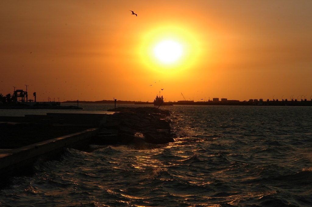
Sunset here is a local ritual. People gather along the jetty and the channel edge to watch the sun go down over the bay, and on a clear evening it is worth staying for.
Down the road · IslandsMustang Island and the long open beach on the GulfThe beach
The Gulf beach at Port Aransas runs south along Mustang Island for miles. The sand is wide and firm, and in many sections cars can drive and park on the beach, which is a long Texas tradition. A beach parking permit is generally required for vehicles.
The surf is usually gentle, but rip currents are a real danger, especially near piers, jetties and gaps in sandbars. If you are caught in one, swim parallel to the shore until you are out of the pull, then head back in. Swim near lifeguards when they are on duty, and pay attention to warning flags.
Jellyfish and Portuguese man o' war wash up at certain times of year, especially after onshore winds. Their blue floats look harmless but can sting even when stranded on the sand. Seaweed, called sargassum, arrives in large mats in some summers, and it can make the beach messy and smelly for a while.
Summer heat on the beach is serious. Shade is scarce, and the sun reflects off the sand and water. Bring shade of your own, drink plenty of water, and plan to retreat during the hottest part of the day.
Never swim near the jetties, where currents are strong and unpredictable.
The birding centre boardwalk
A short drive from the town centre, the Leonabelle Turnbull Birding Center offers a boardwalk over a freshwater marsh. It is a quiet, easy walk and one of the most reliable places on the island for close views of wading birds, ducks and the occasional alligator basking along the edge of the water.
In winter, the marsh fills with ducks and wading birds, and spring and autumn bring migrants through the area. Roseate spoonbills, herons, egrets and grebes are common sights. Early morning is best, before the heat and the wind pick up. The boardwalk has generally been free to visit.
For a broader picture of the birds on this coast, and the best seasons to see them, the guide to spring migration and the Connie Hagar sanctuaries is a good companion.
Crowds and seasons
Port Aransas changes character through the year. In winter, it is quiet and relaxed, with mild days, empty beaches and many visitors from the north who spend the cool months on the coast. Spring break, in March, brings large crowds of students and families, and traffic and ferry lines can be heavy. Summer weekends and holidays are similarly busy, with full beaches and long waits.
If you prefer peace and space, come between October and February, or on weekdays in late spring and early autumn. The water is warm enough for swimming from late spring into autumn, and the town is at its easiest outside the peak weeks.
Port Aransas took heavy damage during Hurricane Harvey in 2017, and like Rockport it spent years rebuilding. The story of that recovery is told in the guide to Rockport after Hurricane Harvey. In storm season, from June to November, follow official forecasts and be ready to leave early if an evacuation is ordered. Remember that the ferry is one of only two ways off the island.
To the south, the beach continues to Mustang Island State Park, with its dunes and paddling trails, described in the guide to Mustang Island State Park and the open Gulf beach.
Picture credits: Nieve44/Luz – Creative Commons BY 2.0; BlankBlankBlank – Creative Commons BY 2.0; BlankBlankBlank – Creative Commons BY 2.0.